


![]()
The distinctive conical shape of Abergavenny’s Sugar Loaf can be seen from miles around, making it a popular objective for many walkers. The main trade routes to the summit climb from the south, where a high car park reduces the amount of effort required. But for a more fulfilling outing, it can be approached from the east, first looping around the outlying hilltop of Allt Deri. It makes a great half-day walk with plenty of variety. The barren slopes of the mountain contrast sharply with the lovely wooded valley of St. Mary’s Vale and the slender summit ridge is as spectacular as any in the area.
From the car park, walk back down the lane to the t-junction and turn right for a few paces to a gate on your left. Follow the tarmac drive down to a bridge and then climb on a rough track to houses at the top. Turn left and then veer right. And then, as the road veers left again, turn right onto a wooded footpath.
Continue through a clearing to join a drive and keep ahead past houses to a junction, where you bear right to drop a few metres. At the bottom, turn left to climb again – effectively carrying straight on. Stay with the road as it goes uphill and then, at its end, with a garage directly ahead, bear right to descend again. At the next junction, with a gate ahead and a track leading up and left, bear right to follow a clear path down, with woodland to the right. This levels and tracks behind Triley Court to emerge on a lane.
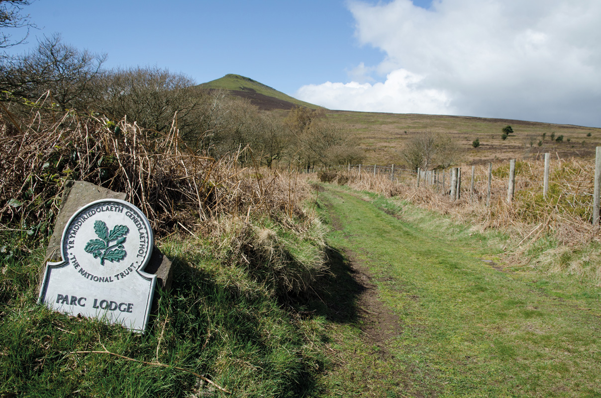
Turn right onto this and follow it up, eventually swinging right with views of Ysgyryd Fawr. Continue along the foot of the open moorland, with a wall to the right, and you’ll cut a corner before re-joining the wall and then cutting another. Just before the track re-joins the wall this time, bear left, uphill, on a grassy track. Follow this onto the ridge top where you get the first view of Sugar Loaf. Drop to the wall ahead and turn right (don’t cross the stile) to keep the fence to your left. The path then ducks into a wood and becomes vague in places. Stay with it, though, with the fence always to your left, and it eventually becomes a lot clearer again and leads to a gate at the entrance to the Parc Lodge estate.

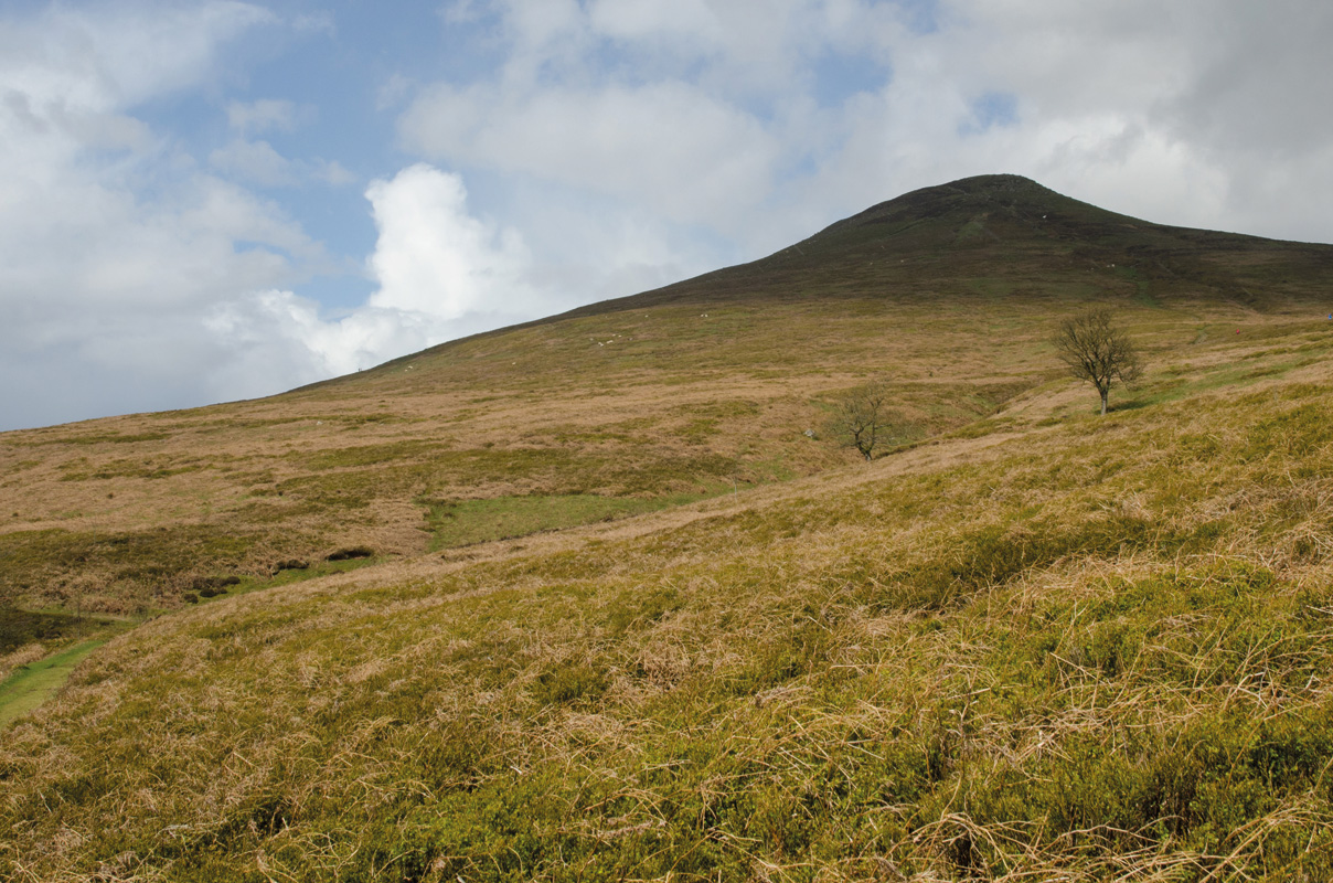
Ignore the gate and instead walk around the corner to keep the fence to your left, with Sugar Loaf now above you to your right. Continue to a clear junction where you should turn right to start climbing towards the mountain. Continue up and you’ll eventually tee into another track that trends slightly right of the summit. Shortly after this, bear left onto a narrow path that leads up through the heather, directly towards the summit.

To descend, head back towards the ascent path, but where this drops slightly left, drop to the right onto a broad, clear path that leads down, over a stream, to join the boundary of the Parc Lodge estate again. This section is quite complicated but fork slightly right at two forks, keeping the wall around 50m to your left. Stay with the clear grassy track as it trends rightwards and starts to drop towards the upper edge of the woodland in St Mary’s Vale. Continue, eventually with a fence to your right, to drop all the way to a gate. Go through and keep right to drop to the road ahead and the car park.
Distance: 10.5km (6 Miles)
Time: 4/5 hours
Start/Finish: Car Park, St. Mary’s Vale (SO283162)
Maps: OS Explorer Series (1:25 000) OL13 Brecon Beacons National Park Eastern Area.
Nearest Town: Abergavenny
Tourist Info: Abergavenny TIC (01873) 853254


