


![]()
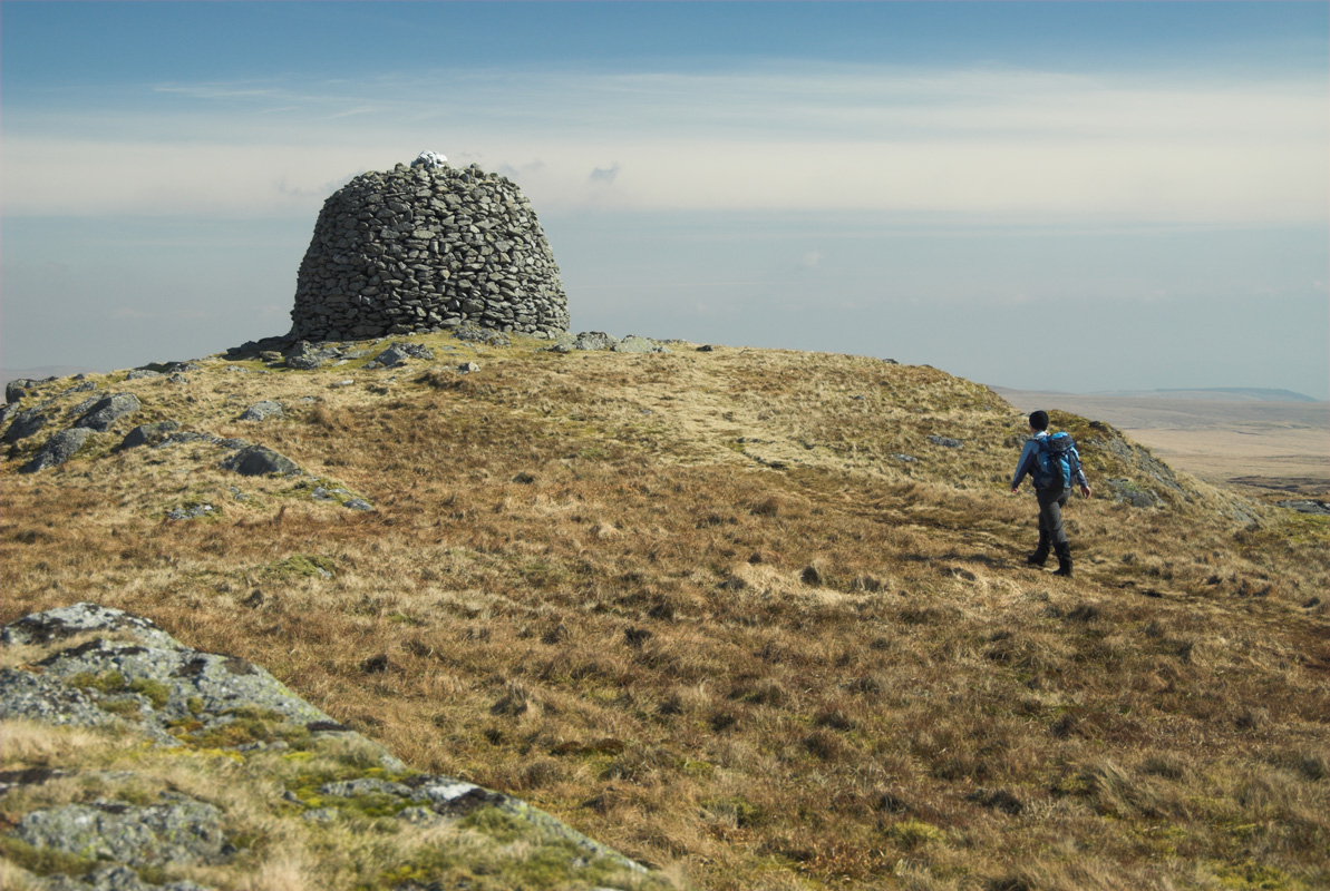
This is one of the wildest walks we’re ever likely to feature on these pages. It’s also one of the most rewarding, though choose a good day with good visibility if you want to enjoy the views and avoid micro navigation. The peak itself, Drygarn Fawr, is the highest point of the Cwmdeudwr Hills, and one of mid Wales’s more distinctive mountains, courtesy of two large pudding shaped cones perched at each end of its summit ridge. It’s a fine viewpoint and the kind of place you can sit all day and not see another soul.
Cross the road and drop past the telephone box and over the Afon Claerwen. Turn sharp right onto a tarmac track and after 200m, turn left, through a gate, onto a good gravel track. Continue to bear left at a fork to stay on the higher track that climbs into Cwm Paradwys. Ignore a right fork – an old mining track – and when the track swings sharp left, leave it and keep straight-ahead, on a faint path, aiming at cascades on the Nant Paradwys.
Continue over a few boggy patches then swing left to climb towards a rocky outcrop then a large ancient cairn. Just before you reach the top, the path swings right again, to continue up the valley, now at a higher level. Continue above further cascades, until you see cairn-topped Carnau ahead in the distance. Continue to a line of boundary stones and bear right to follow a reasonably clear track to the cairn.
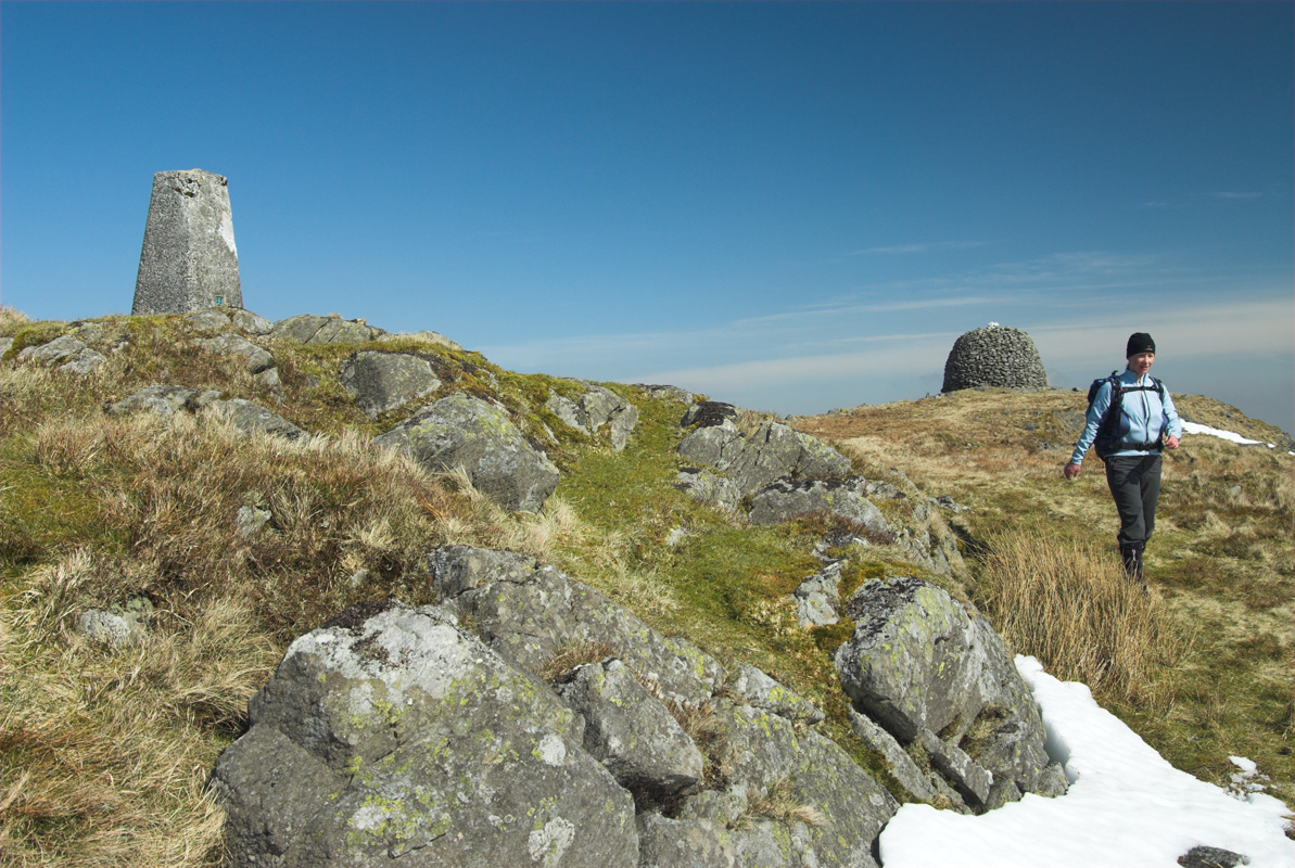
From here, identify the cairn-crowned summit of Drygarn Fawr to the west – the way is complicated so it’s good to know what you’re aiming for. Now follow a faint path that leads NNW across a boggy area before climbing easily onto a much more pleasant grassy hilltop. Now track along the high ground, pretty much due west, with the infant Nant Melyn well down to your left. Continue towards the eastern cairn of Drygarn Fawr, which should be clearly visible on the horizon. Eventually you’ll meet a clear grassy track that leads easily to this. Continue on a good path to the western cairn and then to the trig point.
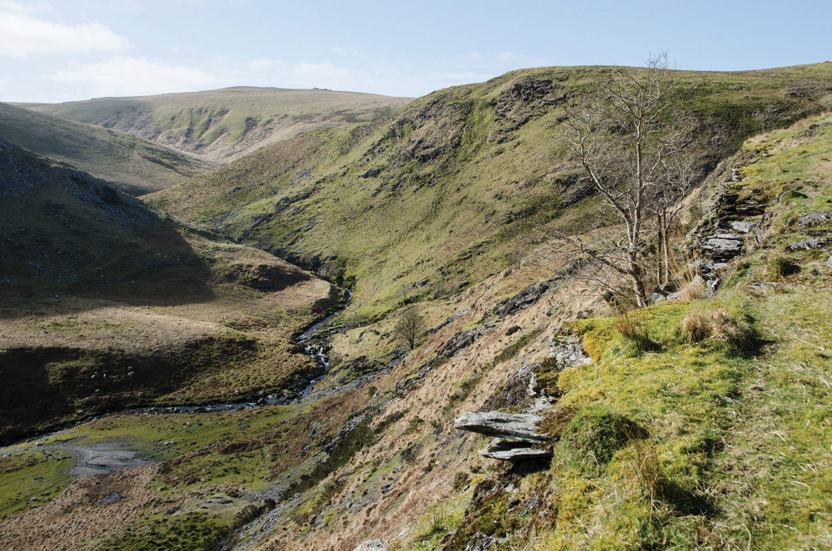
To descend, retrace your steps to the eastern cairn and continue down the track you came up on; now keeping your eyes to the left (north-east). When it’s easy enough, break left, away from the track, and head for the shallow notch to the west of Carreg yr Ast. The going is really rough in places here, but aim at the craggy hilltop and then follow the east bank of the Nant yr Ast down into the valley, where you’ll pick up a path. Continue down past the spectacular confluence of the Nant yr Ast and the Rhiwnant, following the stream the whole time.
Continue down, fording the Nant yr Ych before reaching the impressive meeting of the Rhiwnant and Nant yr Carw. This is a magical spot with an almost endless paternoster of waterfalls cascading down the hillside. Above are the remnants of mine workings that can be easily explored if time allows. Stay on the south bank, passing more mine buildings and crossing another good mining track before staying low to ford the Nant Dyrys. Here you’ll meet a good track that climbs up from the Rhiwnant. Turn right onto this, away from the river, and climb easily up to rejoin the main track you walked in on. Bear left to return to the car park.
Distance: 14km (8.5 miles)
Time: 5/6 hours
Start/Finish: Llanerch Cawr car park (SN900616)
Paths: Remote hills and valleys with faint paths and a few trackless sections. Navigation would be difficult in poor visibility.
Maps: OS Explorer Series (1:25 000) 200. Llandrindod Wells & Elan Valley
Tourist Info: Rhayader TIC (01597) 810591


