


![]()
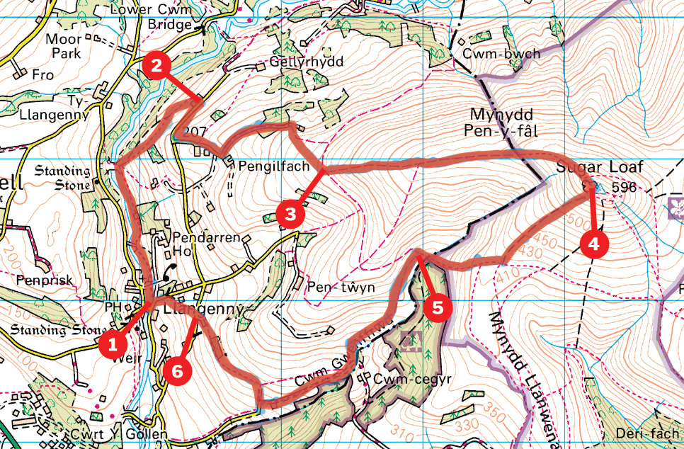
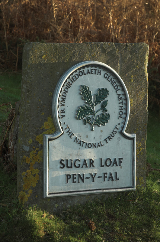
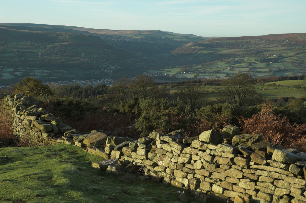
The shapely outlier of the Sugar Loaf towers above the Usk Valley and Abergavenny is recognisable from miles around. It’s a lovely mountain to climb, with a fun final approach along a well-defined ridge and huge views over the nearby Black Mountains as well as west to the main summits of the Brecon Beacons. This walk has the added bonus of starting and finishing close to one of the finest hostelries in the area too.
Walk back towards the main bridge, by the Dragon’s Head, cross it, then turn left. Hop over the stone stile on your left, and follow the path easily along the banks of the river. You’ll soon enter Pendarren Park, but keep ahead, following the well-signed footpath, until you reach the second footbridge, where you turn right, in front of a gate, and walk steeply up the side of the field. Bear left at the top, and follow a grassy track around the hillside to a farm. Cross the stile into the yard, and keep slightly right to another stile, and the road.
Walk down the road for 400m and turn left onto another narrow lane. Walk past a house on the right, and then, as you reach another farm, bear left onto a bridleway. Follow this easily around the hillside to a gate, and bear right to walk steeply uphill to another gate, which gives access to the open hillside. Keep ahead, with the fence, then wall, to your right; and aim for some rough ground at the foot of the obvious hill ahead.
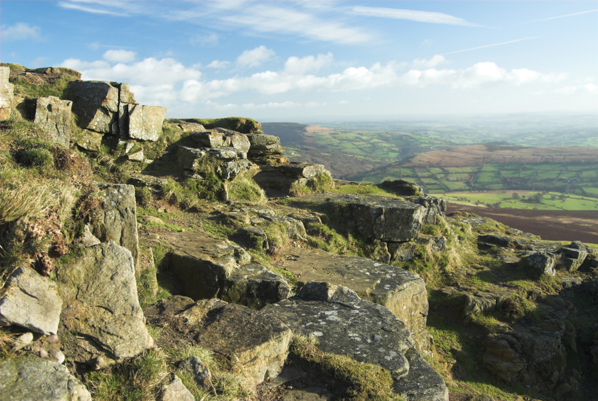
To the right of this is a clear path heading directly uphill. Follow this up onto the crest of the ridge, where it meets another path coming up from the right. Now follow the crest all the way up to the summit of the Sugar Loaf, with fine views all the way.
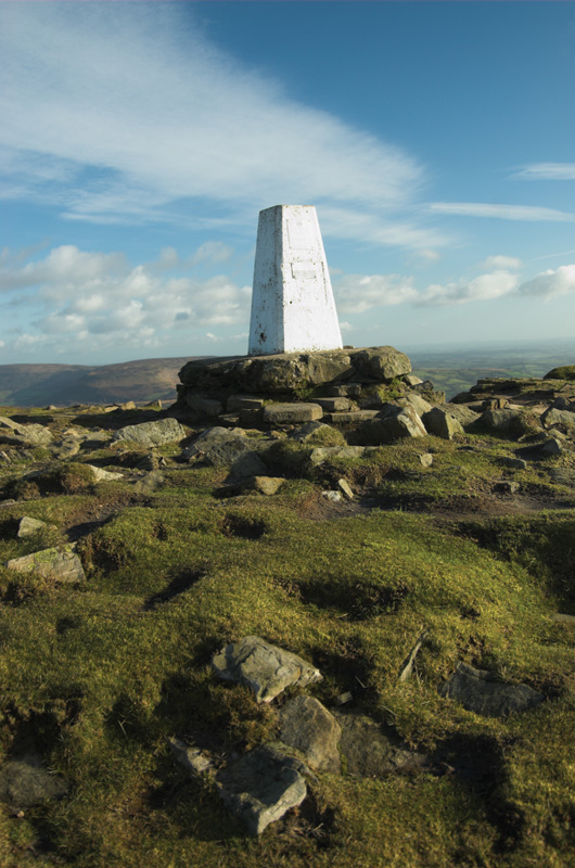
Cross the summit ridge of Sugar Loaf to the trig point, where you get great views over the Usk Valley to the Blorenge. You’ll also see Abergavenny tucked away at the foot of the mountain. Now bear right, to follow a clear path steeply down the face of the mountain. There are a few different paths dropping down, but if you keep to the right as much as possible, with a distinct valley between you and the ridge you’ve just climbed, you can’t go far wrong. As the ground levels, fork right, to drop to the floor of the valley, by the corner of a coniferous wood.
Cross the stream and turn left to pass through a gate onto a clear path. Another gate leads onto a sheltered track, where another track comes up from the left. Keep ahead, back into the open, and follow the drive down past a lovely house to the road. Turn right to climb steeply to the waterworks. And then bear left, over a stile, to follow a footpath straight across a field. Cross another field and a stile to walk through a copse, with a fence up to your right. Keep ahead and you’ll follow a sunken track all the way to the road.

Cross this, and hop over a stile opposite. Now bear half right to cross the next field and hop over another stile to drop down the side of a house. Bear right at the bottom, and follow the drive out to the road. Turn left to drop to the bridge.
Distance: 10km (6 miles)
Time: 4 hours
Start/Finish: Llangenny (SO 240179). Parking by the church, or ask for permission in the pub.
Paths: Grassy paths across fields and open hillsides, some very short sections of tarmac.
Maps: OS Explorer Series (1:25 000) OL13 Brecon Beacons National Park (Eastern Area)
Tourist Info: Crickhowell – 01873 811970


